Monday, June 29, 2009

Carnarvon to Exmouth and Onslow

1Lookout

We continued north on our way to Carnarvon. The countryside is red sand hills with  low bushes until you come to the Gladstone Scenic Lookout which looks west to the Ocean. 

2one mile jetty

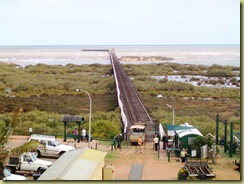
We spent three days in Carnarvon because wet weather set in. This is the one mile jetty taken from the top of the water tower at the railway museum.


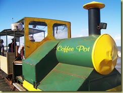
3Coffee Pot

This was a very busy port at the beginning of the century and these trains were used to transport wool bales to the ships.


4Kath's fish

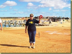
Once again Kathy caught the fish. We stopped at the marina at Exmouth for morning tea and she could not resist throwing in a line.


5Lighthouse Lookout Exmouth

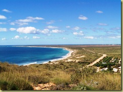
We left our caravans at Bullara Station and took our tents exploring again. This is the view of North West Cape from Viamingh Lighthouse north west of Exmouth.


6Testing the water

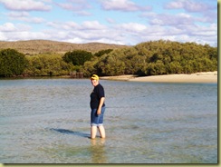
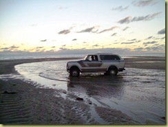
There were no camping spots in the Cape Range National Park so we decided to drive further south to camp. Yardie Creek had to be crossed and we had to wait for low tide to get through. Kathy went in to check the depth of the water.

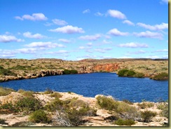
7Yardie Creek Gorge

While we waited for low tide, Col and Chris walked up Yardie Creek Gorge.


8Crossing Yardie Creek

And finally at about 6.00p.m. we were able to cross and find a camp spot. We put the tents up and cooked our meal. Through the night it rained and the wind nearly blew our tents over.

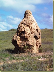
9Termite Nest

The only thing that flourishes in this area is Termite Nests. There are hundreds of them – all different sizes and shapes. Most are well over 8 feet high.


11Mountain

There are a few hills appearing as we head further north to Onslow.


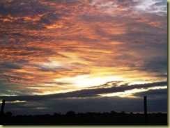
12sunset Onslow

There is rain in those clouds – and sure enough it rained most of the night and all day.


13Onslow Hotel

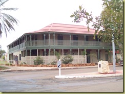
We drove down the main street of Onslow and the Hotel was the only building to photograph. It is a small fishing town that was moved from the Ashburton River to Beadon Bay in 1925 when the river silted up. The area is renowned for cyclones. It was a naval base in WW2 and was bombed by the Japanese.
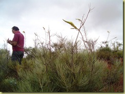
14wild flowers  The wildflowers are just starting to flower. Because of the rain the roads were closed so we could not explore Old Onslow. We move on again tomorrow.
Sunday, June 28, 2009

Steep Point

We have left Denham to visit the westernmost point in  mainland Australia.

1Eagle Bluff

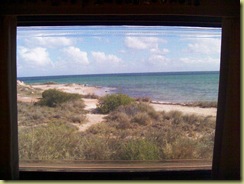
The day was very windy and this photo of Eagle Bluff taken through the caravan window was the best way to sightsee.


2StarFish

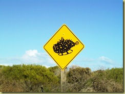
Next stop Ocean World with some very different road signs on the way in. This is a stonefish.


3Ray

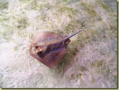
There were all sorts of marine creatures. These rays would come to the side of the tank to be patted. There were sharks, turtles, sea snakes and many different varieties of fish.


4Sand Dunes

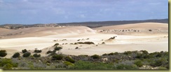
On to Steep Point.We covered many miles over sand dunes.


5Steep Point 2

And this is Steep Point – straight into the Indian Ocean – next stop Africa!


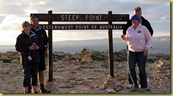
7Steep point a

We all lined up to have our photos taken.


8SP sunset

And sunset at Step Point was beautiful. It was at this point that my camera said ‘SD card full’ – the following photos were taken by Kathy.

9camp

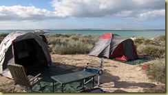
We left the caravans and camped out. Of course the wind blew but it was a beautiful spot.


10fishing

Straight out of bed to catch breakfast


11breakfast

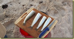
Just as well Kathy and Chris are good anglers – fresh from the ocean to the plate.


12dolphinsfish

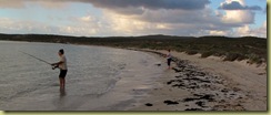
While we were fishing four dolphins appeared and herded fish towards the shore. It is a fisherman’s paradise.


12aBeach Steep Point

This is the coastline where we camped. The colours were magical.


13Steep Point Coast

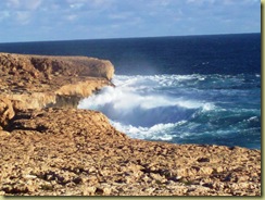
This is the rugged coastline at Steep Point.


6Thunder Bay

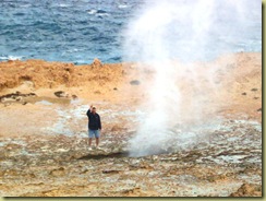
On to Thunder Bay on the western coast. The spray in the middle of picture is from a blowhole. You can see Col in the middle of the picture.

14Blowhole

Another blowhole where the ocean roars up through a hole in the rock.


17washing machine

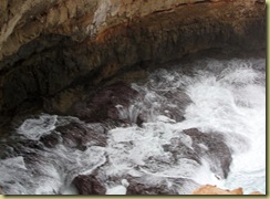
We named this one ‘The washing machine”. The ocean roared over the holes in the rocks and then the pressure forced the water up again – absolutely spectacular.


19aFalse Entrance Beach

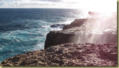
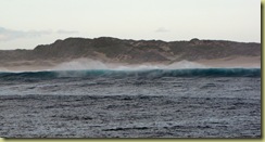
The surf at False Entrance was pounding – no wonder so many ships were wrecked in this are.


20Sunset causeway

And all too soon we had to return to our base. This is sunset over the causeway as you leave Steep Point area.

Tuesday, June 23, 2009

Shark Bay

100_4912Shell Bay

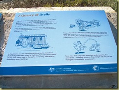
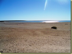
First stop as we headed for Shark Bay was Shell Beach. Here shells are mined from a beach 120kl long and up to 10 metres deep.


100_4914Shell Bay 2

What looks like sand is actually millions of very small coquina shells. They were once cut into blocks and  used in buildings. The shell is now used in  the poultry industry.


100_5006Restaurant

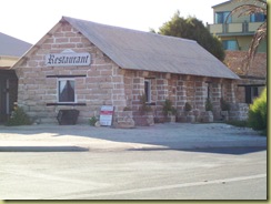
This is the Old Pearlers Restaurant in the main street of Denham made from the shell blocks.


100_5008Dirk Hartog Plaque

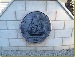
In October 1616, Dirk Hartog, a Dutchman, was the first European to land on Australian soil in the area that is now Shark Bay.  This is a plaque in Denham commemorating Hartog’s landing.

100_5007

Denham is the main town servicing this area. It is also the most westerly town in Australia. Originally pastoralists and pearling were the main industries which have been relaced by tourism and fishing.


100_4931Monkey Mia

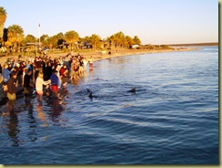
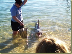
One of the main attractions is Monkey Mia where the wild bottlenose dolphins come in each day to interact with people and be fed fish under the supervision of the Marine Rangers.


100_4932Dolpin

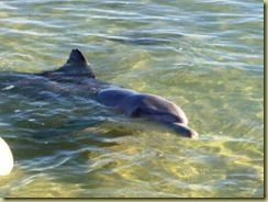
This is Nicky – named because of the nick in her fin – who comes in each morning and brings her calf. These dolphins have been visiting Monkey Mia since the early 1960’s.


100_4957Dolpin 2

Nicky is quite a show-off. This is the dolphin which features in the travel brochures.


100_4956Pelican

And where there is a free feed, there will be the pelicans. This one was quite happy to parade around the foreshore.


100_4923Tall ship

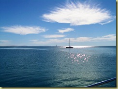
The Peron Peninsular in Shark Bay is a popular sailing area. There was a Tall Ship out in the bay the day we were there.


100_4964Cape Perin

Francois Peron National Park is a former pastoralist lease with viewing platforms at Skipjack Point where mantra rays up to 9 metres across were swimming past.


100_4982Cape Perin 2

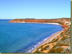
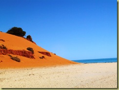
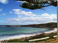
The contrasts between the red sandstone, the white beach sand and the blue water were unbelievable – just like the tourist brochures.


100_4988Bogged

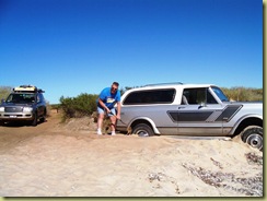
One of the problems with driving on sand is that if you don’t engage 4WD, you get bogged. Fortunately Chris was there with his trusty shovel to help out.


100_4994Simpson Desert

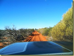
The tracks looked so much like the Simpson  Desert – just more scrub.


100_5002Sunset Little Lagoon

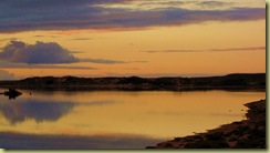
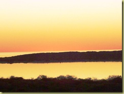
This is sunset over Little Lagoon just north of Denham.

Wednesday, June 17, 2009

Kalbarri

100_4841Green Head

From The Pinnacles we headed north on the coast road.There are so many  fishing towns with beautiful harbours. This is Green Head and was so peaceful.


100_4851Lynton Station

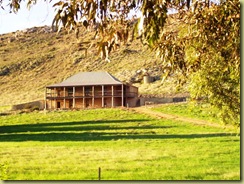
Further north at Port Gregory is Lynton Homestead built by Henry Sanford in 1853.It is  now a Heritage site restoration.It was originally a lease of 48,000 acres running sheep and 100 horses.

100_4864Kalbarri Natural Arch

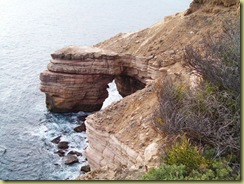
Our next stop was Kalbarri. Wind and wave erosion in this area has exposed these  coastal cliffs which are more than 100 metres high. This is Natural Bridge carved from the limestone and sandstone cliffs.

100_4865Grandstand

And jut a few kilometre s up the coast is the Shell House Grandstand and Eagle Gorge.


100_4894Hawks Head

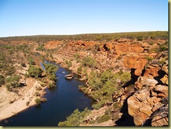
To the north of Kalbarri is the Murchison River Gorge. Magnificent views from Hawke’s Head Lookout.


100_4905Fishing Spot

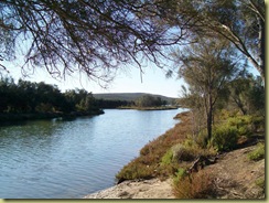
On our return to camp, we found this quiet fishing spot. Unfortunately there was more water than fish in this area.